Related Links
HISTORICAL BACKGROUND ::Mbaitoli Local Government Area was created out of what used to be called Mbaitoli/Ikeduru Local Government under the leadership of General Ibrahim B Babangida on May 11, 1989.
LOCATION :: Mbaitoli Local Government Area shares common boundaries with Oru, Njaba, Isu Local Government Areas in the North while its Southern boundary is with Owerri North and Owerri West Local Government Areas.
Its Western boundaries isOguta and Eastern side are IsialaMbano and Ikeduru Local Government Areas.
The administrative Headquarters of Mbaitoli Local Government Area is at Nwaorieubi which is situated along Owerri-Orlu Federal Road.
SIZE/POPULATION :: It covers an area of approximately about 234 square kilometer. The Local Government Areas is indisputably the most populous in Imo State with a population figure of 255,000 going by the 2004 census figures. It is made up of 31 autonomous communities with 12 INEC wards.
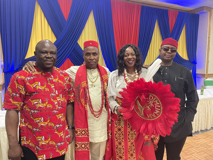
LIFE STYLE OF THE PEOPLE :: The people are predominantly farmers, peace loving and always well dressed expressing the confidence they have in themselves. They are mostly educated, industrialist and Civil Servants.
ARTS/CRAFTS :: The Mbaitoli people also engage in crafts such as basket making, broom making, hair weaving etc.

